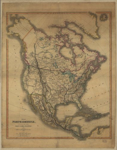
Map of North America including part of the West India Islands was original published by C. Smith, mapseller, London, 1849. Colors are used to outline boundaries. (Reproduction.)
Map of North America Including Part of the West India Islands [Map] C. Smith
 As Seen On TV