No Products in the Cart
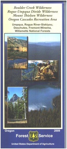
Official topographic recreation map for the Boulder Creek, Rogue-Umpqua Divide, and Mt Thielson wilderness areas, and the Oregon Cascades Recreation Area in the Umpqua, Rogue River-Siskiyou, Deschutes, Fremont and Willamette National Forests. Map shows roads, lakes and rivers, recreation sites, trailheads, trails, points of interest, and trail distance information. Also marked is the Pacific Crest National Scenic Trail. Great map for scenic driving, hiking/backpacking, horse riding, camping, and fishing in the forests north and west of Crater Lake National Park. Only hiking, horse riding, and backpacking permitted on wilderness trails. Scale is 1" = 1 mile. 2009
 As Seen On TV