No Products in the Cart
|
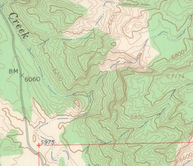
What is a topographic map? A map is a representation of the Earth, or part of it. The distinctive characteristic of a topographic map is that the shape of the Earth's surface is shown by contour lines. Contours are imaginary lines that join points of equal elevation on the surface of the land above or below a reference surface such as mean sea level. Contours make it possible to measure the height of mountains, depths of the ocean bottom, and steepness of slopes. A topographic map shows more than contours. The map includes symbols that represent such features as streets, buildings, streams, and woods. These symbols are constantly refined to better relate to the features they represent, improve the appearance or readability of the map, or to reduce production cost. Consequently, within the same series, maps may have slightly different symbols for the same feature. Examples of symbols that have changed include built-up areas, roads, intermittent drainage, and some type styles. On one type of large scale topographic map, called provisional, some symbols and lettering are hand-drawn. USGS Topographic Map Symbols – Reading Topographic Maps – Purchase Topographic Maps |
 As Seen On TV