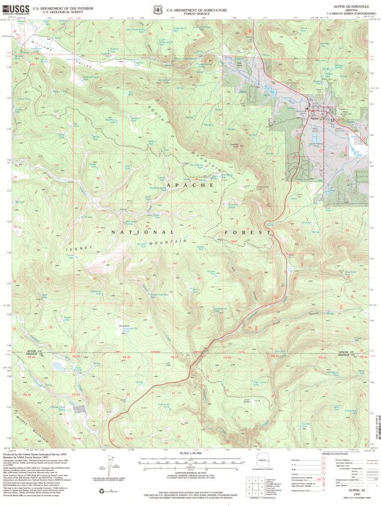
![Alpine, AZ?7.5' 1997 [Map] [Jan 01, 2017] United States Geological Survey - Wide World Maps & MORE! - - Wide World Maps & MORE! - Wide World Maps & MORE!](http://wideworldmapsandmore.com/cdn/shop/products/41lK0R0mDZL_af4e253a-baaf-41cd-85bc-9934934570ca_1024x1024.jpg?v=1744301696)

United States Department of the Interior
Alpine, Arizona 1997 (7.5'×7.5' Topographic Quadrangle)
$ 9.95
$ 20.95
Alpine, AZ 1997 USGS 7.5-minute quadrangle map
- Product Details
- Product Number: 42513
- Scale: 1:24,000
- Content: Contours
- Alternate ID: TAZ2111
- ISBN: 978-0-607-95789-1
- Version Date: 01/01/1997
- Regions: AZ
- Countries: USA
- Latitude: 33° 52' 30" N to 33° 45' 00" N
- Longitude: 109° 15' 00" W to 109° 07' 30" W
- Media: Paper
- Format: Flat
- Historical Reproduction: Yes
- Additional Details
- Description: United States Geological Survey Alpine, Arizona Historical Map Reprint 7.5'×7.5' Grid 24000-Scale 1997
- Survey Date: 1997
- Print Date: 2000
- Height In Inches: 26.700
- Length In Inches: 21.600
- Boundary Type: Quadrangle
- UTM Grid: Grid Ticks
- Horizontal Datum: North American 1983; North American 1927
- Vertical Datum: National Geodetic 1929
- UTM: Zone 12
- Two-Sided: No
- Plates: 1
- Pieces: 1
- Languages: English
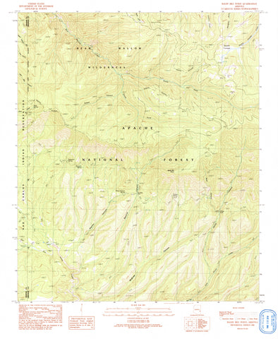
![Baldy Bill Point, Arizona 1997 (7.5'×7.5' Topographic Quadrangle) [Map] United States Geological Survey - Wide World Maps & MORE!](http://wideworldmapsandmore.com/cdn/shop/files/31CDlIZXeSL_97423d7a-de7d-449a-877e-543c29ce8516_large.jpg?v=1741189019)