
United States Department of the Interior
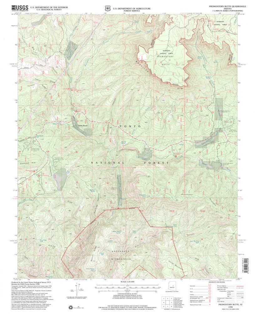
Promontory Butte, Arizona [Map] U.S. Geological Survey
$ 12.95
$ 20.95
Long Name: Promontory Butte, Arizona Historical Map 7.5'×7.5' Grid 24000-Scale 1998
Scale: 1:24,000
Content: Contours
Alternate ID: TAZ1156
ISBN: 978-0-607-96549-0
Version Date: 1998
Regions: AZ
Nations: USA
Latitude: 34° 15' 0" N to 34° 22' 30" N
Longitude: 111° 7' 30" W to 111° 0' 0" W
Media: Paper
Format: Flat
Description: USGS 7.5 - minute quadrangle map for Promontory Butte, AZ
Survey Date: 1998
Print Date: 2001
Height In Inches: 26.800
Width In Inches: 21.600
Boundary Type: Quadrangle
Two Sided: No
Plates: 1
Pieces: 1
Languages: English