
United States Department of the Interior
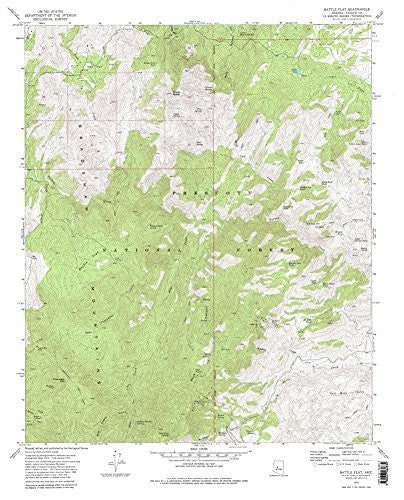
Battle Flat, Arizona 1974 (7.5'×7.5' Topographic Quadrangle)
$ 12.95
$ 20.95
USGS 7.5 - minute quad topo map
- Long Name: United States Geological Survey Battle Flat, Arizona Historical Map Reprint 7.5'x7.5' Grid 24000-Scale 1974
- Scale: 1:24,000
- Content: Contours
- Alternate ID: TAZ0104
- ISBN: 978-0-607-06283-0
- Version Date: 1974
- Regions: AZ
- Nations: USA
- Latitude: 34° 15′ 0″ N to 34° 22′ 30″ N
- Longitude: 112° 22′ 30″ W to 112° 15′ 0″ W
- Media: Paper
- Format: Flat
- Historical Reproduction: Yes
- Description: Battle Flat, AZ
- Survey Date: 1974
- Print Date: 1982
- Height In Inches: 26.800
- Width In Inches: 22.000
- Boundary Type: Quadrangle
- UTM Grid: Ticks
- Horizontal Datum: North American 1983; North American 1927
- Vertical Datum: National Geodetic 1929
- UTM: Zone 12
- Two-Sided: No
- Plates: 1
- Pieces: 1
- Languages: English