Wide World Maps & MORE!
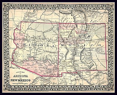
1879 County Map of Arizona and New Mexico Paper/Non-Laminated [Map] S. Augustus Mitchell
$ 29.95
This is a special high-resolution color reproduction of a very rare original territory map of Arizona and New Mexico found in an old atlas at the US Library of Congress. Engraved and published by S. Augustus Mitchell in 1879, it shows the communities and routes of the time.
Paper, one-sided wall map.
Size: 25" × 20"


![Arizona Road and Recreation Atlas [Paperback] Benchmark Maps - Wide World Maps & MORE!](http://wideworldmapsandmore.com/cdn/shop/products/81WodCcaVHL_large.jpg?v=1742587807)


